Making a World Champs training map - Leith Docks

In July 2024, the World Orienteering Championships are coming to Edinburgh, which is not only incredibly exciting, but represents a massive opportunity to promote and develop orienteering in the UK, particularly Scotland.
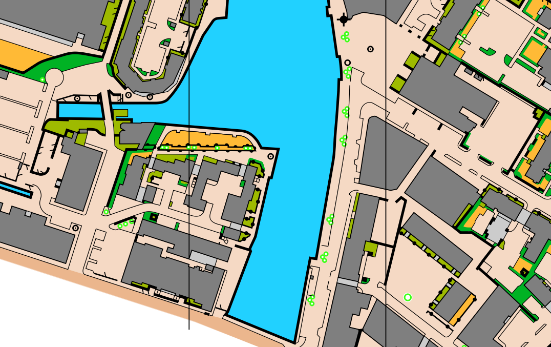
So, when my friends at Edinburgh University Orienteering Club asked if I could make a map for them, adjacent to one of the areas being used for WOC, I was chomping at the bit. The area in question was Leith Docks. In the past Leith has had a reputation as one of the roughest parts of Edinburgh but over the last 20-30 years there has been significant investment into regeneration. Now, the waterfront area of Leith has many trendy cafes, restaurants and art galleries, plus a lot of upmarket new housing estates. It is split down the middle by the Water of Leith.
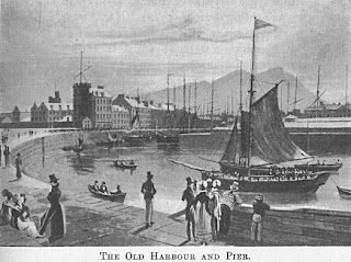
The Eastern half of the area comprises Timber Bush, with "bush" referring to a market. Timber came in on the ships and was then floated into Timber Bush, before being dried, sorted, chopped and sold. The port of Leith is in an ideal position to receive timber from Scandinavia, the Baltic States and Russia (before the war), and send back, primarily, coal [1].
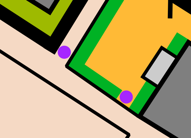
From an orienteering perspective, this area is characterised by large, square buildings, old warehouses which now host marketing agencies and creative studios. It is partitioned into sections by a few large stone walls which result in an area with many dead-ends and few thoroughfares. In the re-developed sections, modern housing estates provide tricky orienteering with many hedges and canopies. The challenge here was mapping all the fine detail accurately whilst retaining legibility and clarity - the classic challenge in mapping. Some features have to be simplified, some have to be exaggerated, with the goal being to stick to the IOF's specification, ISSprOM. An example of this is the minimum gap size (thanks to Matt Gooch for teaching me this trick!):
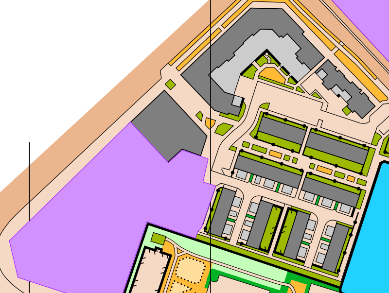
On the Western side of the Water of Leith, there is another small detailed area, similar to the Eastern side. Beyond this, there is a large Scottish Government building, the grounds of which we unfortunately have to make Out-of-Bounds for orienteering. Beyond this, I had the curious prospect of mapping an area which is still being built, a new housing development. The majority of the work has been finished, but not all of that has made it onto the most up-to-date base maps yet (either OS or satellite). So, I mapped those areas but had to leave the most recently built bits for a future update. I could have tried to map them by eye, without a base map, but that is error-strewn no matter how good you think your eye is, as I am learning.
EUOC are planning to use the map as part of their WOC training week, the week before their annual Big Weekend events. It promises to be a fantastic week of sprint orienteering, perfect preparation for WOC. It will likely attract a large number of foreign runners, which is exciting but makes me feel more responsibility to make a good map! I think I will probably do some more work on the map in the summer or autumn, when hopefully the building work has been completed.
I'm looking forward to seeing the map get used and helping fuel the push towards WOC!
[1] The Story of Leith - XXXII. The Industries of Leith (electricscotland.com)