Maps
If you have an area you would like to get mapped, please do contact me! In particular, if you work with a school, having an orienteering map of it made is a fantastic way to get children learning outdoors - it can be used to bring other lessons, like maths and science, out of the classroom, as well as being used for orienteering in PE.
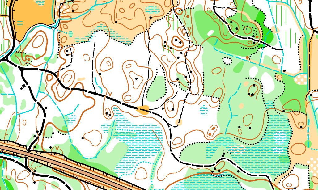
Tullochroisk - JK Relay 2026
The full story of the map from start to finish. In the competitor feedback from the event, out of over 100 responses none were negative about the mapping which is great to hear!
Assorted maps - a round-up of the last year or so
Catching up!
Going international - sprint and forest maps in Sweden
A great opportunity to get my first experience mapping abroad!

Polmaise
A super detailed forest map for Forth Valley Orienteers - a challenging project!

Bughtlin and Dalkeith
New urban maps for Edinburgh University Orienteering Club.
 Alasdair Pedley
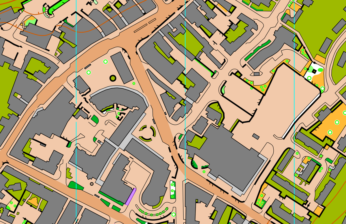
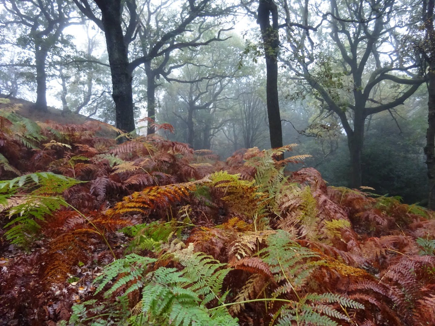
Hardcastle Crags
A challenging project mapping a rocky forest close to where I grew up.
Alasdair Pedley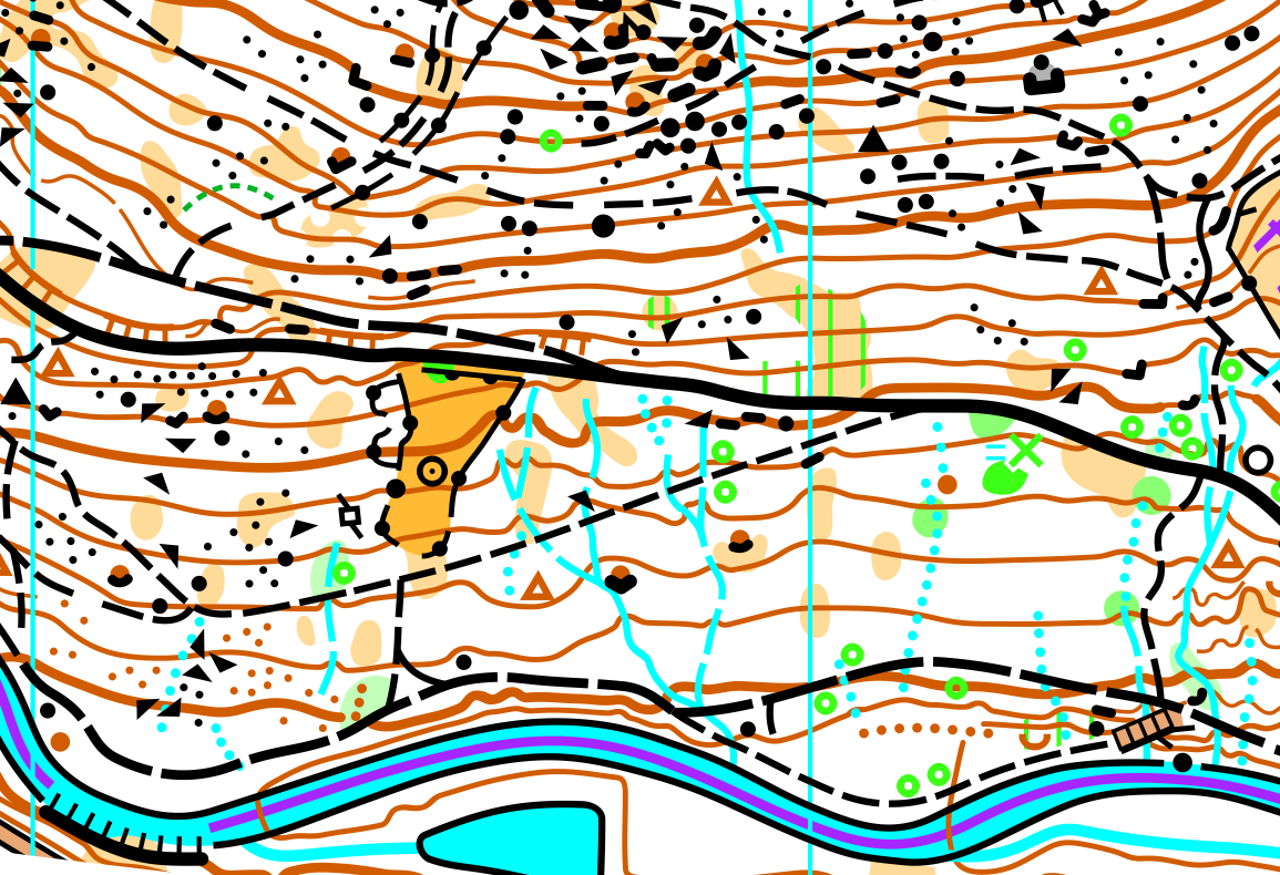
Poltonhall
Read the story of a small informal event from start to finish - finding an area, making the map and planning the courses!
Alasdair Pedley
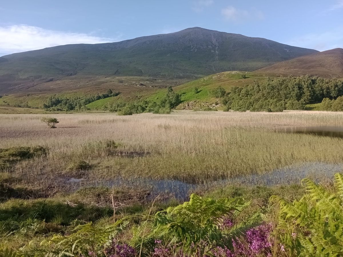
Cnoc Na Cloiche
A joint effort with Steve Smirthwaite for Coast & Islands, this map was a new challenge as it didn't have any LiDAR data for the contours.
Alasdair Pedley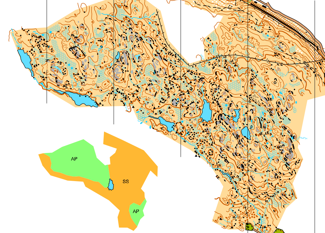
Bold Venture and Whitehall Parks
Two new maps of parks close to each other in Darwen, near Blackburn, for Pendle Forest Orienteers.
Alasdair Pedley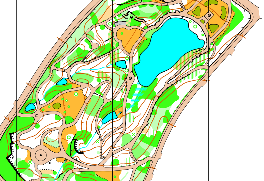
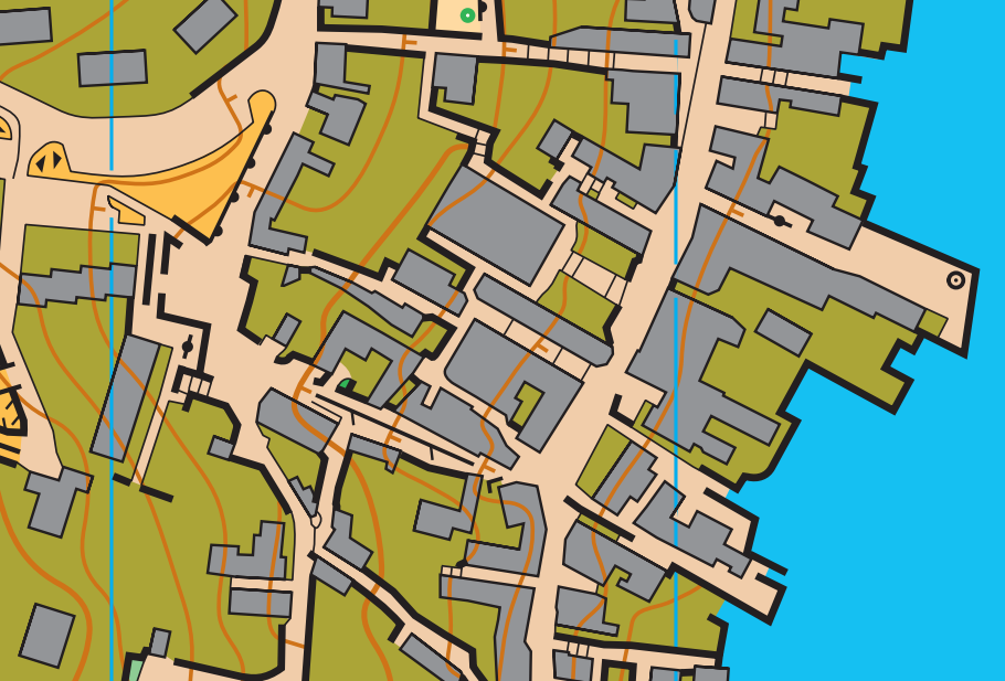
Leith Docks
A new sprint map for Edinburgh University Orienteering Club as they continue their build up towards the 2024 World Orienteering Champs. Read the article:
Alasdair Pedley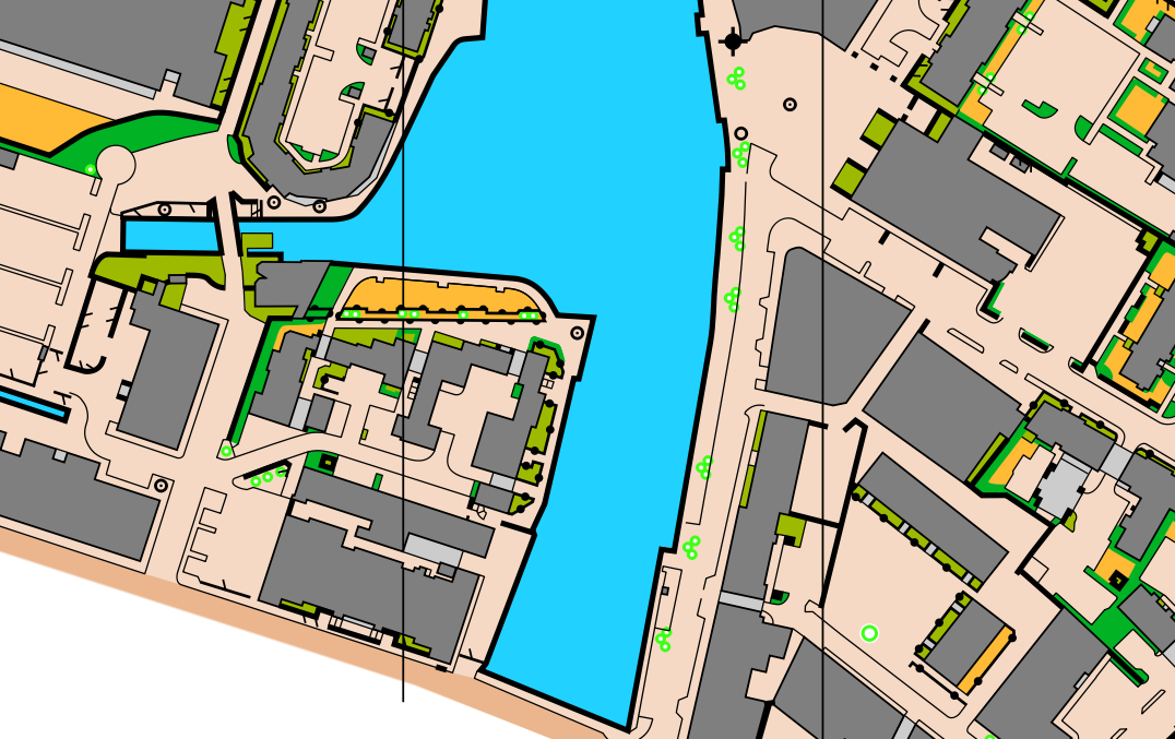
Todmorden
An update of a 10-year-old urban map for Pendle Forest Orienteers. Read the article:
Alasdair Pedley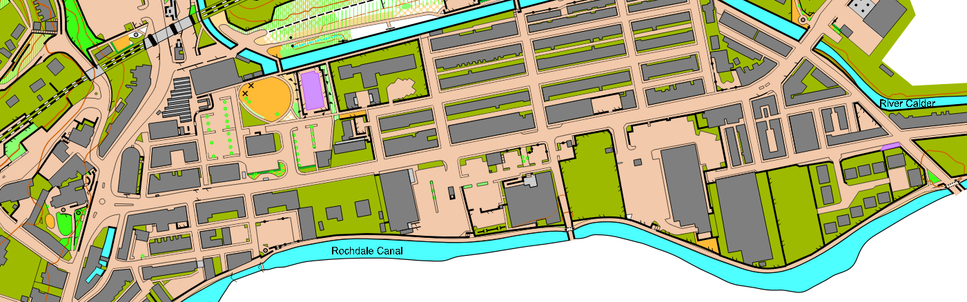
Corporation Park
A new sprint map for Pendle Forest Orienteers, to support their ongoing work with the Find Your Way project. Read the article:
Alasdair Pedley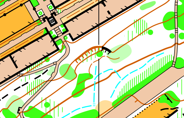
Scalpay
My first professional mapping project. Read the article:
Alasdair Pedley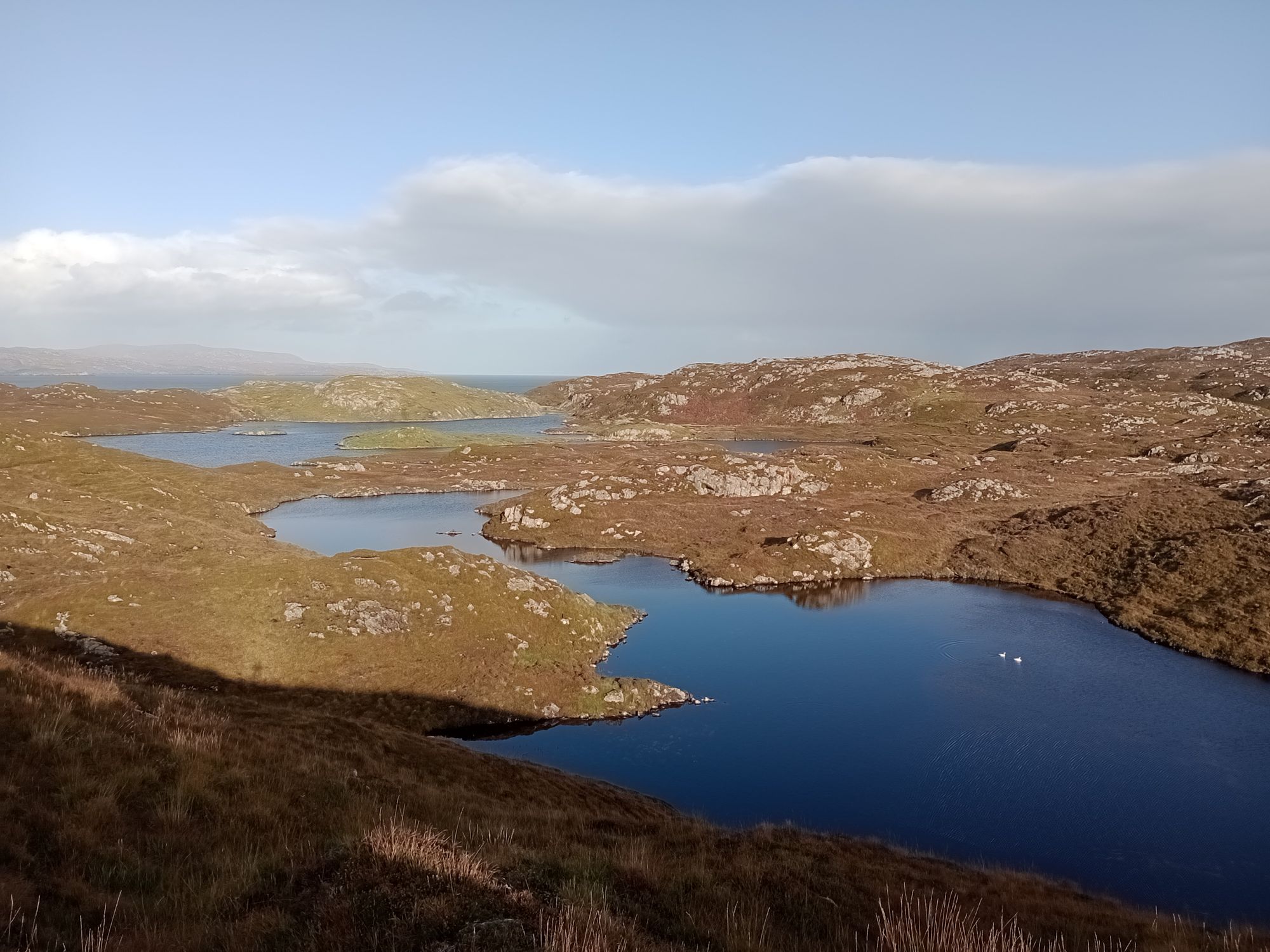
Broadhead Clough
My first forest map, of the nature reserve close to home. Read the article:
Alasdair Pedley