Tullochroisk

As published recently in CompassSport magazine.
I'll start from the beginning because perhaps some readers won't be aware of the behind-the-scenes of (professional) mapping for major events. In April 2025 I got the invite from SOA to tender for the JK Relay map, along with presumably all the other people they knew might be interested. This basically outlines the area in question, what needs doing and rough timescales. In this case, there was an old map - obviously pre-LiDAR, "based on 1999 map, survey and cartography 2008, minor updates 2014/15" - so there's a question of whether you work from that file, editing and updating, or whether you start from scratch. In this case it was open for debate and my view was that a fresh map from scratch would give a much better final result. LiDAR was available for half the area, and much of the other half was open moorland where photogrammetric (PG) DSM (25cm accuracy) was available, which is as good as LiDAR except when there are trees - there it is almost useless. So, I quoted for a new map based on that. In this case it was also split up into sections of the area, and also into the main mapping work and subsequent days of updates/corrections needed during the course planning phase. To be honest I found the latter hard to do because it depends on a) how good a job you do the first time round, b) the views/opinions of the planner(s) and controller(s) and c) any severe storms or forestry work that may alter the forest.
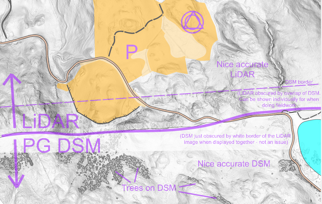
Happily, I was awarded the job (around the end of May) and began work on my base map. For the LiDAR section this was the familiar task of processing the data to generate 'raw' contours, the slope gradient (steeper slopes shaded darker) and the vegetation height. I then drew smooth contours and other obvious features using these as the background, as normal. For the southern section, with PG DSM, it was much the same in the areas with no trees. However in the small wooded patches, I just had to either leave big gaps or draw very rough estimates of where the contours might go, the true ground shape being a mystery until I got there and laid eyes on it.
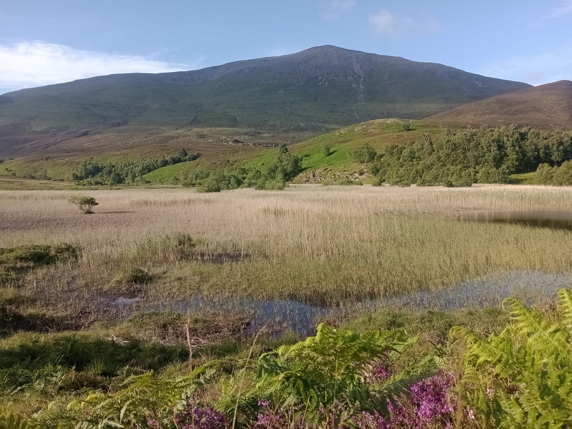
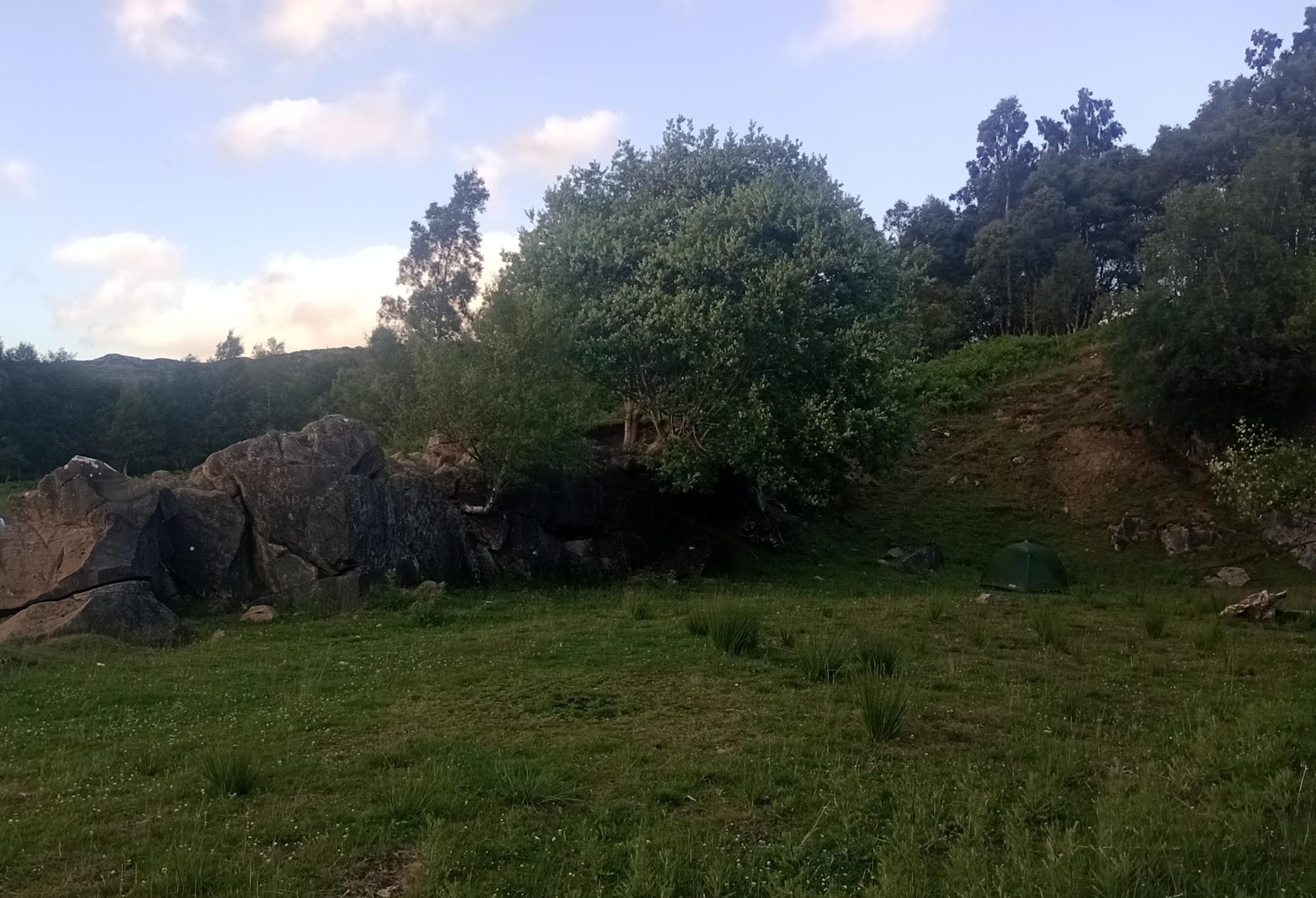
Then comes the fieldwork. In late June and early July I spent 10 very enjoyable days on the area, spread over a few trips from Edinburgh. It is rather large area, and in the end the JK used less than half of it. There were plenty of detailed sections which were a nice challenge - deciding which boulders, crags and knolls were significant enough to map and drawing them in a tidy and legible way. The LiDAR data was from 2013 but since most of the area is natural woodland there had been no forestry work and I was glad to see only minimal storm damage. Of course, in June and July the bracken was relatively tall, and for the JK in April it would be minimal. That's why it's usually advisable to map an area in the same season as the event. The next best thing is the trick of duplicating the undergrowth symbol and using one of them exclusively for bracken. That symbol can then be 'hidden' on the map for events in winter/spring and shown for events in summer/autumn.
The trickiest parts of the fieldwork were the sections only covered by the PG DSM and which were wooded. Here I had to go 'old school' and eyeball the contours, looking from a few different angles. I did still have my GPS though which helped, occasionally even walking along a contour to then map it. Of course it's also very important that the features relate properly to the contours e.g. crags on the right levels or a flat marsh halfway up the slope. Later, when talking to the planners, it became clear that one of these wooded sections would have controls in on the courses. I wonder did anyone notice any difference in this section of map?
Once the fieldwork was done it was time to tidy up the cartography, trying to stick to what I have preached in some of my previous CompassSport articles, before handing the map over to Jon and the planners.
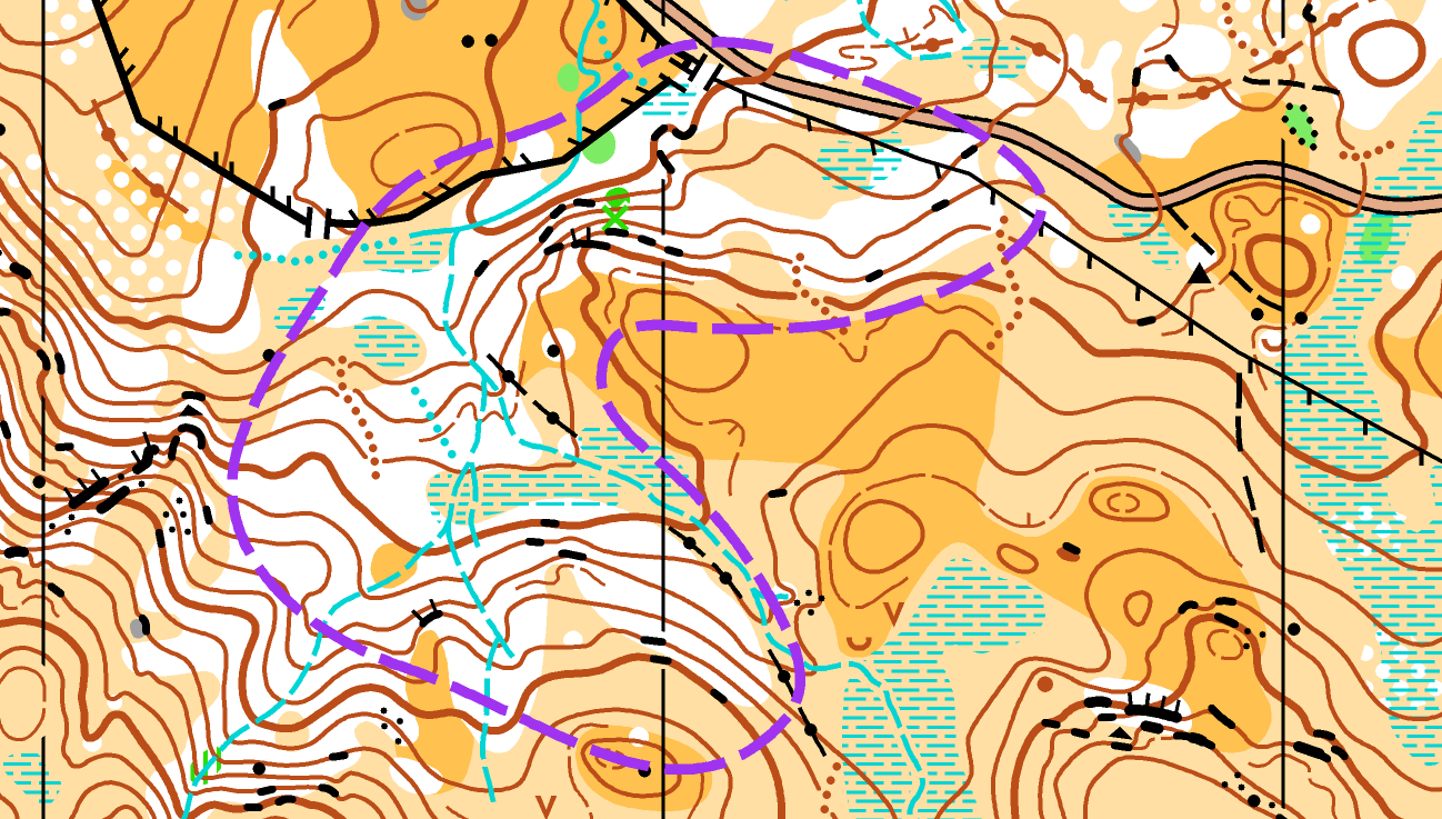
By December, draft courses had been planned and the planners had found a few bits of map they'd like me to go and double check. On a map with close to 5000 objects (800 crags, 200 boulders, 200 knolls...) there will inevitably be the odd mistake and inconsistency, but thankfully it was only about a dozen things they wanted me to check. A couple of crags I'd missed that had been buried under bracken, a rocky lump I'd mapped as a boulder they thought should be a knoll, a rootstock they thought should be included because it was next to a control, that sort of thing. Once the controller had checked the map and courses, he had a few more things for me to go and check, but happily again only a handful. The discussions between mapper, planner and controller during this stage are all important for improving the end result. Each of them has a different angle on things and their own rules and guidelines to keep in mind so that, all being well, the courses are challenging, enjoyable and most importantly as fair as possible.