Lews Castle

Hope today was a fun end to the week, despite the unfortunate issue with the olive green. Here's the story of the mapping and planning, which were both a joint effort between me and Chris.
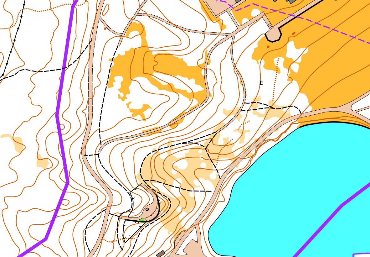
So back in May, Chris and I had finished all the Tarbert stages, and left ourselves two full days to sort out Lews Castle. I had done the "from home" mapping work in the Autumn; using the LiDAR, OS MasterMap and a little bit of StreetView. Unlike the other areas, there were trees and vegetation to worry about! So this time, the Classify Vegetation part of the LiDAR was of use. However, given I was doing this in the Autumn it was perhaps the first time I'd used this, and I traced out gaps in the canopy as clearings in way too much detail, and we simplified massively in May.
Our rough plan was one day mapping, one day planning and checking, but the mapping is the longer job so this extended into the morning of the second day. Now, two people working simultaneously on a map is not straightforward. We both use OpenOrienteering Mapper (on our phones), so we drew a line through the area and we would each work strictly on our side of the line. Then afterwards we'd use the line to re-combine in OOM on the laptop by using the "Cut Out" and "Cut Away" tools:
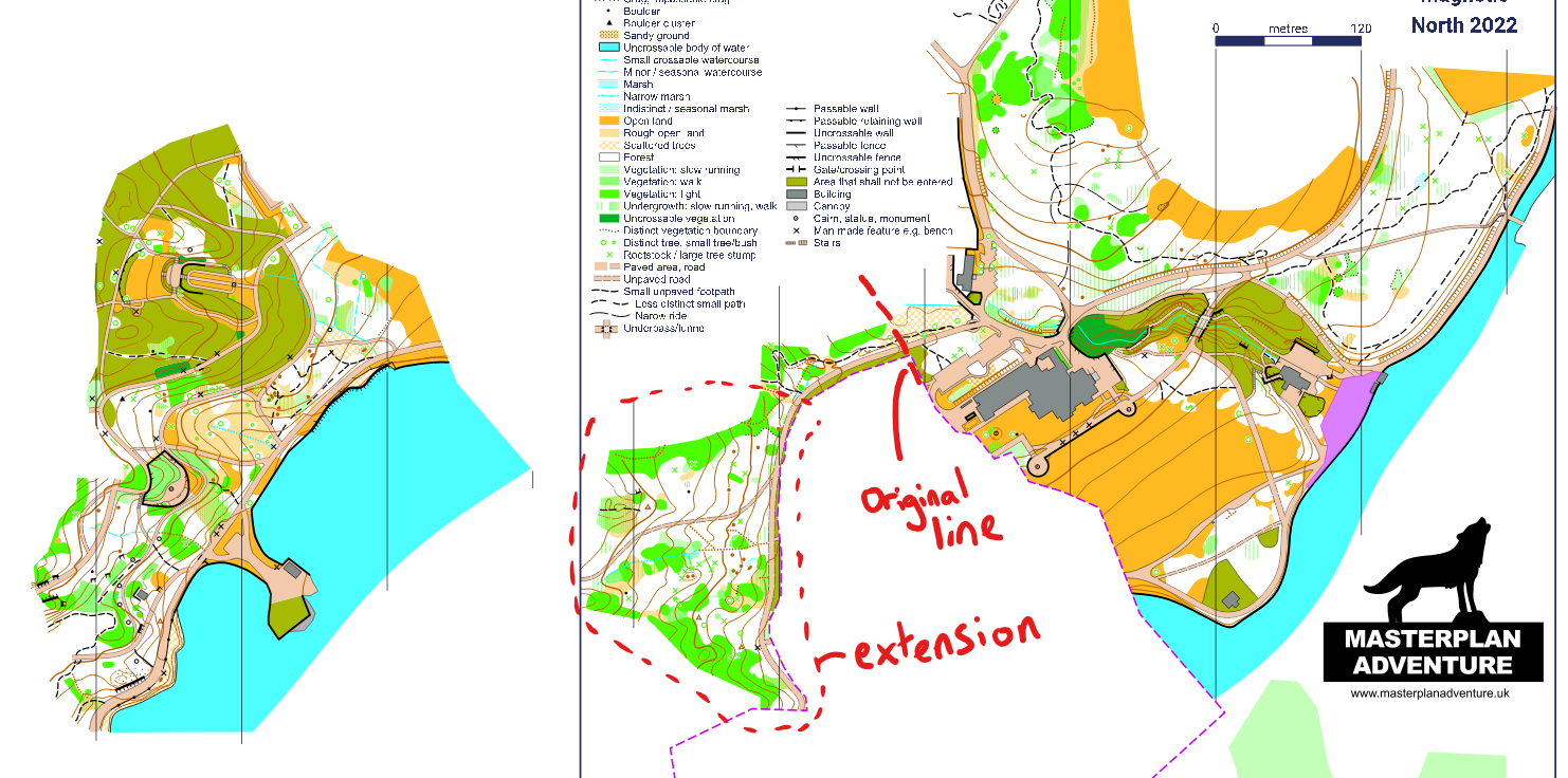
The original line we drew went more or less straight across the area, but as Chris was mapping his half on the first day, he discovered an unexpected patch of nice runnable forest! My half had been less detailed, so we decided I would have more time to map this new patch, and I'm glad we mapped it because it had some really nice features! I should say, there is one deviation from ISSprOM in here - contours should be moved to interplay with the knolls in the most natural way, rather than broken, but these knolls were pretty small. As a friend once said "accessories on the terrain, rather than part of the terrain itself".
My files tell the story of the two days:
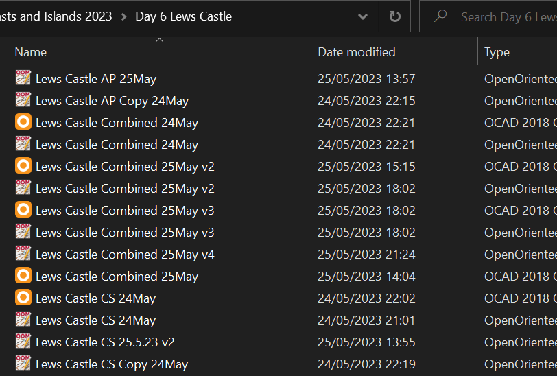
24th May: mapping all day, doing the bulk of the work, then combining in the evening, converting to OCAD, and making first drafts of the courses.
25th May:
- Morning: Finishing our halves of mapping, including the new extension.
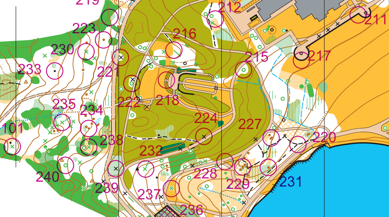
- 2pm: Sitting down with our laptops in the cafe, combining the files, looking at our first draft of the courses from the previous evening, and planning a set of second drafts. Put the maps back on our phones, plus PDFs of the courses.
- 3:30pm: Jogging round the Long/Medium courses, using maps on our phones, checking control sites. Chris did the navigating on my half of the map, to check my mapping, and I navigated on his half. We discovered some bits that weren't quite right, so...
- 5pm: Updating some bits of map, and finishing planning Short/Orange.
- 6pm: Jogging round Short/Orange, checking control sites, same as before.
- 7pm: Dinner! And finalising the courses.
- 8-9pm: After the test running, I still wasn't happy with my mapping of the bushes near the start of the courses, so I headed back out to sort them. And so we arrive at "Lews Castle Combined 25May v4"!
This style of event preparation is also apparently how Park World Tour used to work - they'd fly to a far flung corner of the world, map the area in the 2 days before the race, plan the courses, and print the maps on a printer they brought with them!
Hope you've enjoyed reading these articles! If you'd like to see more of them, about all the orienteering-related work I'm doing, you can sign up to the newsletter :) (it's free).